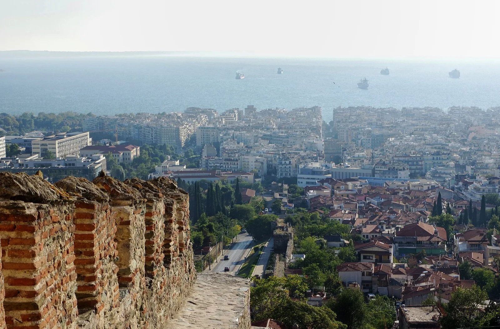
View over the rooftops of Thessaloniki and the Thermaic Gulf from the Byzantine walls

City map

Every landmark, museum, market and transport hub on one map. Tick the categories you need, tap a pin for the story — most pins are within a 25-minute walk of Aristotelous Square.

Prefer paper?

The info kiosk on Aristotelous Square (summer) and the airport desk hand out free paper maps — and every metro station displays a network map. Offline apps (Google Maps, Organic Maps) work perfectly in the compact centre.

Self-guided walks

Ready-made routes

Follow a one-way loop — foot for the centre, bus only when the hill helps. Open the full path in Google or Apple Maps in one tap. Text updates to your language automatically.

Top 5 — classic half-day

Duration: ~3.5–4.5 h

How to move: All on foot (flat + one gentle climb). Optional metro Venizelou → Agias Sofias if tired.

Tip: Start mid-morning. Lunch near Kamara, then finish at the White Tower for sea light.

Stops

  1. 1. Aristotelous Square — Meet / cafés
  2. 2. Agios Dimitrios — Basilica & crypt
  3. 3. Roman Forum — Roman Agora
  4. 4. Arch of Galerius (Kamara) — Arch → Rotunda 2 min
  5. 5. White Tower — Museum + waterfront

Museums → seafront

Duration: ~3–4 h (with museum time)

How to move: Short walks only — museums sit next to each other, then 10 min to the Tower.

Tip: Buy a combo ticket if offered. Save Umbrellas for golden hour.

Stops

  1. 1. Archaeological Museum — Macedonian gold
  2. 2. Museum of Byzantine Culture — Byzantium next door
  3. 3. White Tower — Climb the Tower
  4. 4. Alexander the Great — Statue photo
  5. 5. Umbrellas — Sunset spot

Ano Poli — bus up, walk down

Duration: ~2.5–3.5 h

How to move: Bus 22/23 from Eleftherias / centre uphill → walk the ridge → descend on foot to Agios Dimitrios (no need to climb twice).

Tip: Go late afternoon for Trigonion sunset, then stroll downhill for dinner in the centre.

Stops

  1. 1. Venizelou metro — Metro / bus start
  2. 2. Vlatadon Monastery — Monastery & peacocks
  3. 3. Trigonion Tower — Sunset viewpoint
  4. 4. Osios David — Hidden mosaic chapel
  5. 5. Agios Dimitrios — Back in the centre

Market & meze crawl

Duration: ~2–3 h (or all evening)

How to move: 100% walkable — dense centre, no transit needed.

Tip: Kapani/Modiano before 14:00 for full stalls; Ladadika & Bit Bazaar shine after dark.

Stops

  1. 1. Kapani Market — Spices & fish
  2. 2. Modiano Market — 1922 food hall
  3. 3. Athonos Square — Barrel-wine tavernas
  4. 4. Ladadika — Oil-quarter nightlife
  5. 5. Bit Bazaar — Wine bars in the yard
Orientation

The city in 30 seconds

The sea is south

The 4.5-km waterfront runs from the port past the White Tower to the Concert Hall. Lost? Walk downhill until you hit water, then follow it.

Three parallel spines

Tsimiski (shopping), Egnatia (the Roman road — metro line, budget eats) and Agiou Dimitriou (churches, Ano Poli access) carry most of the city's life, all parallel to the sea.

Up = old, down = new

Above Agiou Dimitriou street lies Ano Poli — Ottoman lanes and Byzantine walls that survived the 1917 fire. Everything below was rebuilt on Hébrard's elegant grid.

Keep exploring

Plan the visit

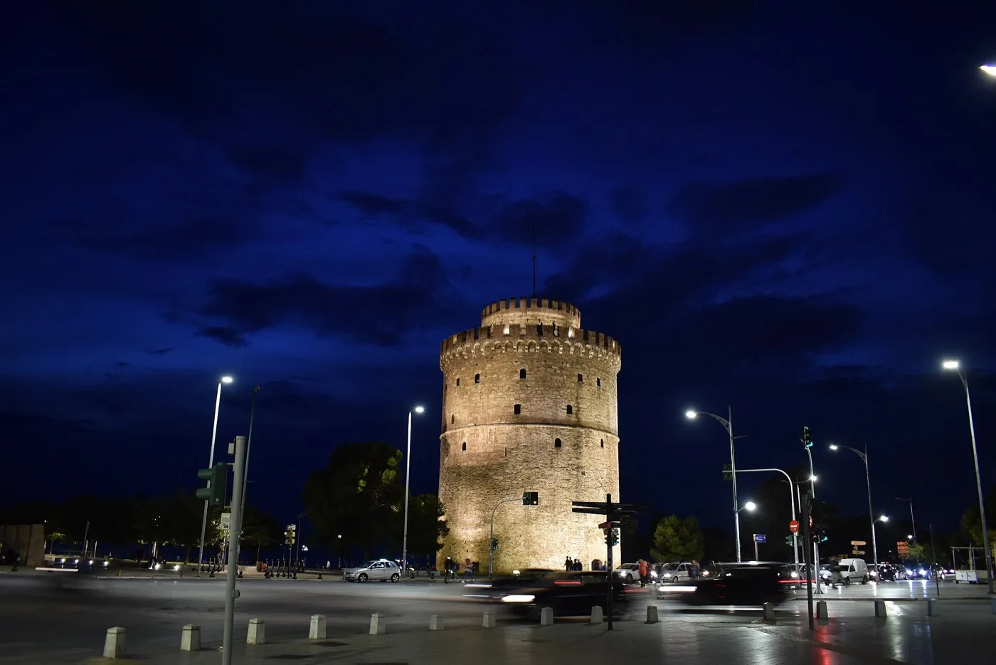
The White Tower across the seafront promenade

See & Do

The sights behind the pins — hours, prices and timing tips.

The essentials
People strolling the renovated Nea Paralia seafront

Itineraries

24, 48 or 72 hours — ready-made plans that link the dots on this map.

Follow a route
An OASTH city bus in Thessaloniki

Getting Around

Metro, buses, taxis and the €10 gulf ferry — how to reach every pin.

Transit guide
FAQ

Common questions

Is there a tourist map of Thessaloniki?

Yes — our interactive map marks 30+ sights, food spots and transport hubs with toggle layers.

How walkable is Thessaloniki city centre?

Very — port to White Tower about 25 minutes on foot along a flat promenade.

Where is the White Tower on the map?

On the waterfront at the south end of the centre — the default landmark on our map.